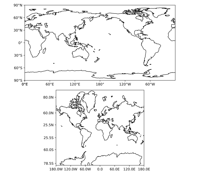
Geographic data (requires cartopy)#
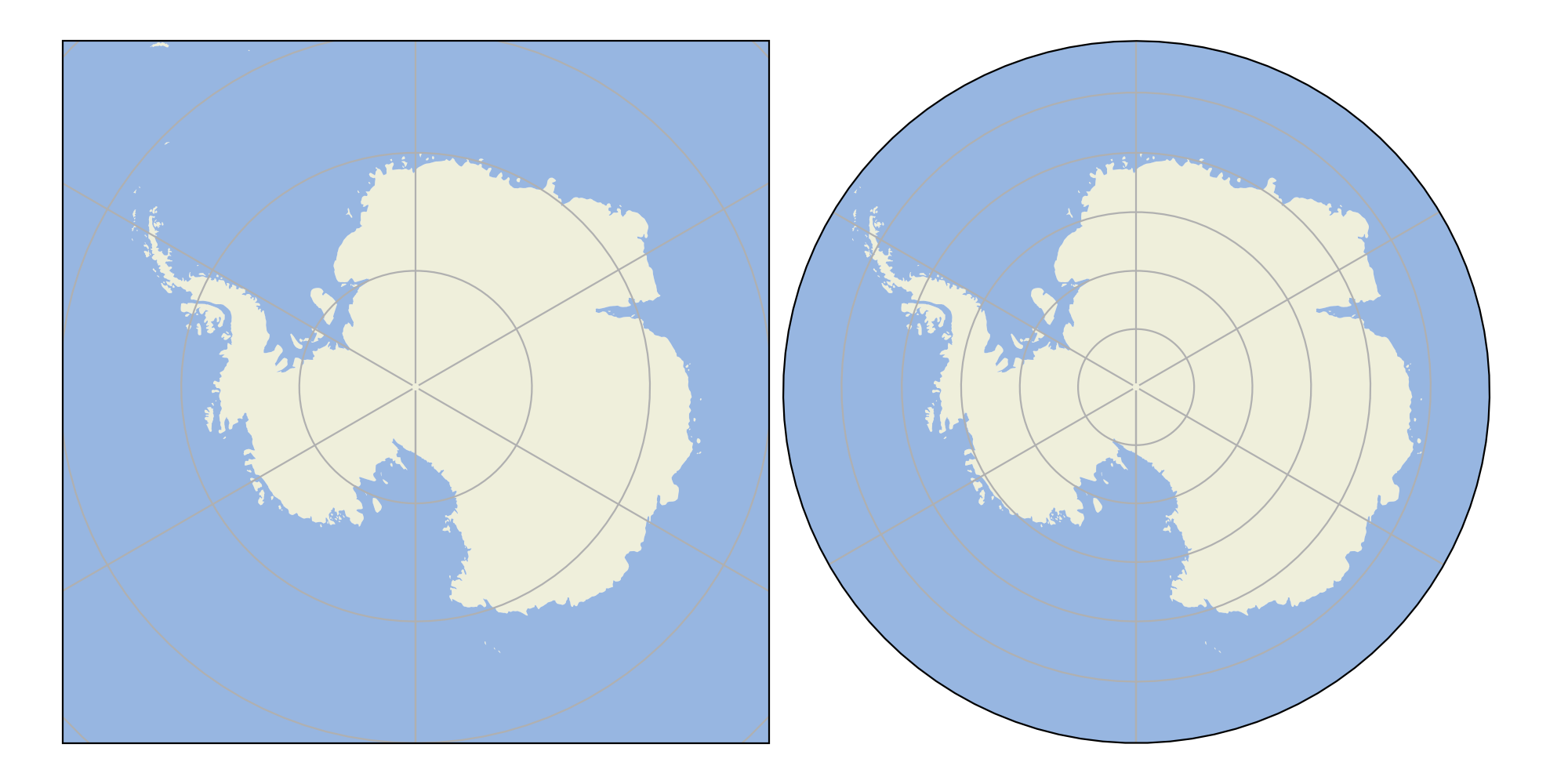
Antarctis#
The Python code for the example below can be found online in the DataXlCalcNet repository or in the corresponding local DataXlCalcNet folder in the file D01_Antarctis.py, and the XML code in the file D01_Antarctis.2D.xml.
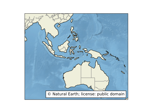
Australia#
The Python code for the example below can be found online in the DataXlCalcNet repository or in the corresponding local DataXlCalcNet folder in the file D02_Australia.py, and the XML code in the file D02_Australia.2D.xml.
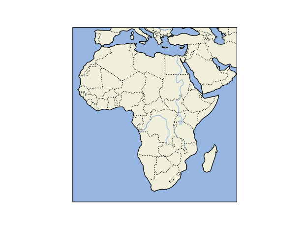
Africa#
The Python code for the example below can be found online in the DataXlCalcNet repository or in the corresponding local DataXlCalcNet folder in the file D03_Africa.py, and the XML code in the file D03_Africa.2D.xml.
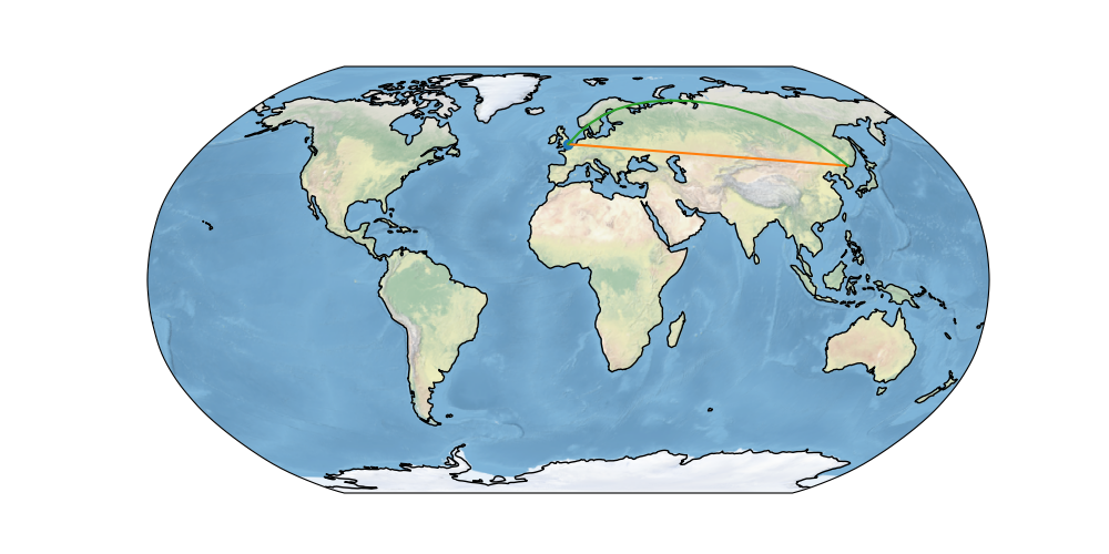
World Flight#
The Python code for the example below can be found online in the DataXlCalcNet repository or in the corresponding local DataXlCalcNet folder in the file D04_WorldFlight.py, and the XML code in the file D04_WorldFlight.2D.xml.
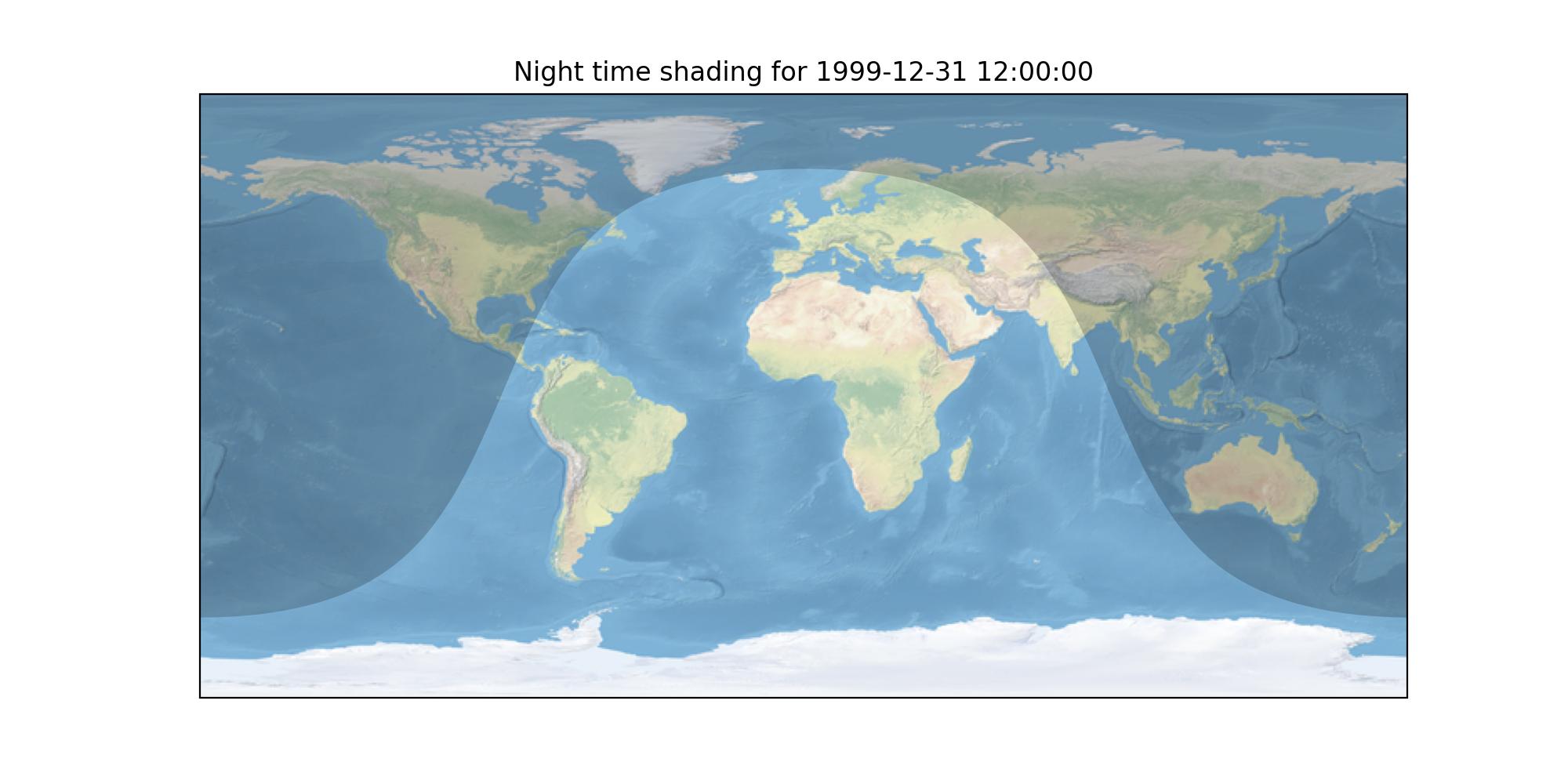
World Night Shading#
The Python code for the example below can be found online in the DataXlCalcNet repository or in the corresponding local DataXlCalcNet folder in the file D05_WorldNightShading.py, and the XML code in the file D05_WorldNightShading.2D.xml.
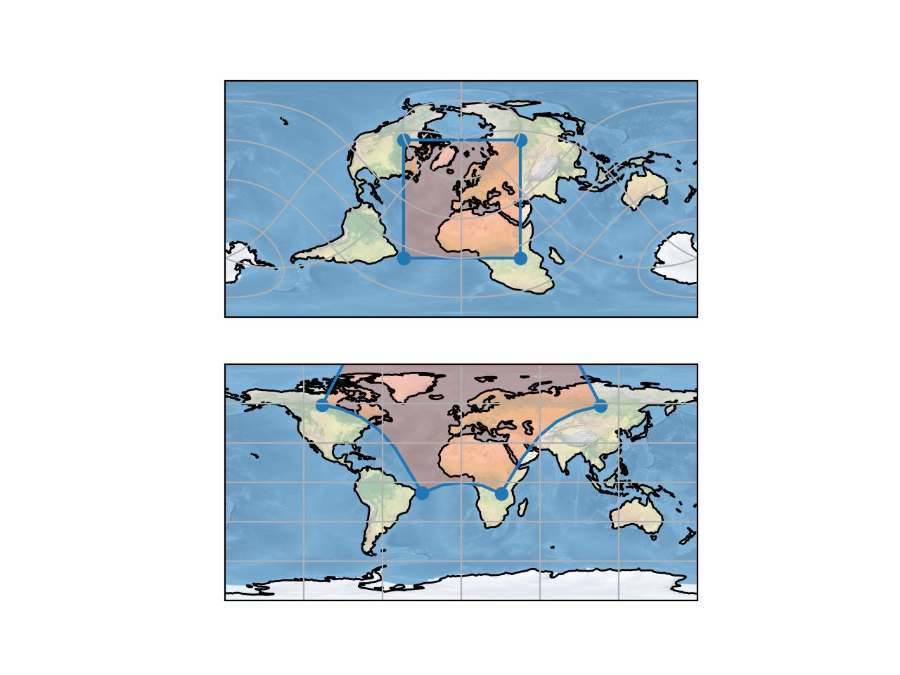
World2projections#
The Python code for the example below can be found online in the DataXlCalcNet repository or in the corresponding local DataXlCalcNet folder in the file D06_World2Projections.py, and the XML code in the file D06_World2Projections.2D.xml.
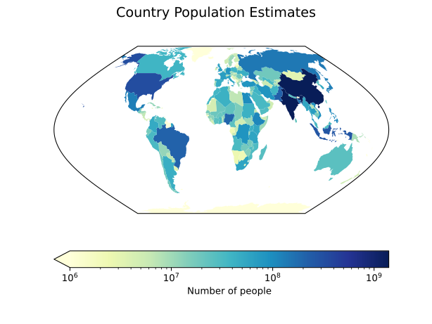
Country population estimates#
The Python code for the example below can be found online in the DataXlCalcNet repository or in the corresponding local DataXlCalcNet folder in the file D07_CountryPopulationEstimates.py, and the XML code in the file D07_CountryPopulationEstimates.2D.xml.
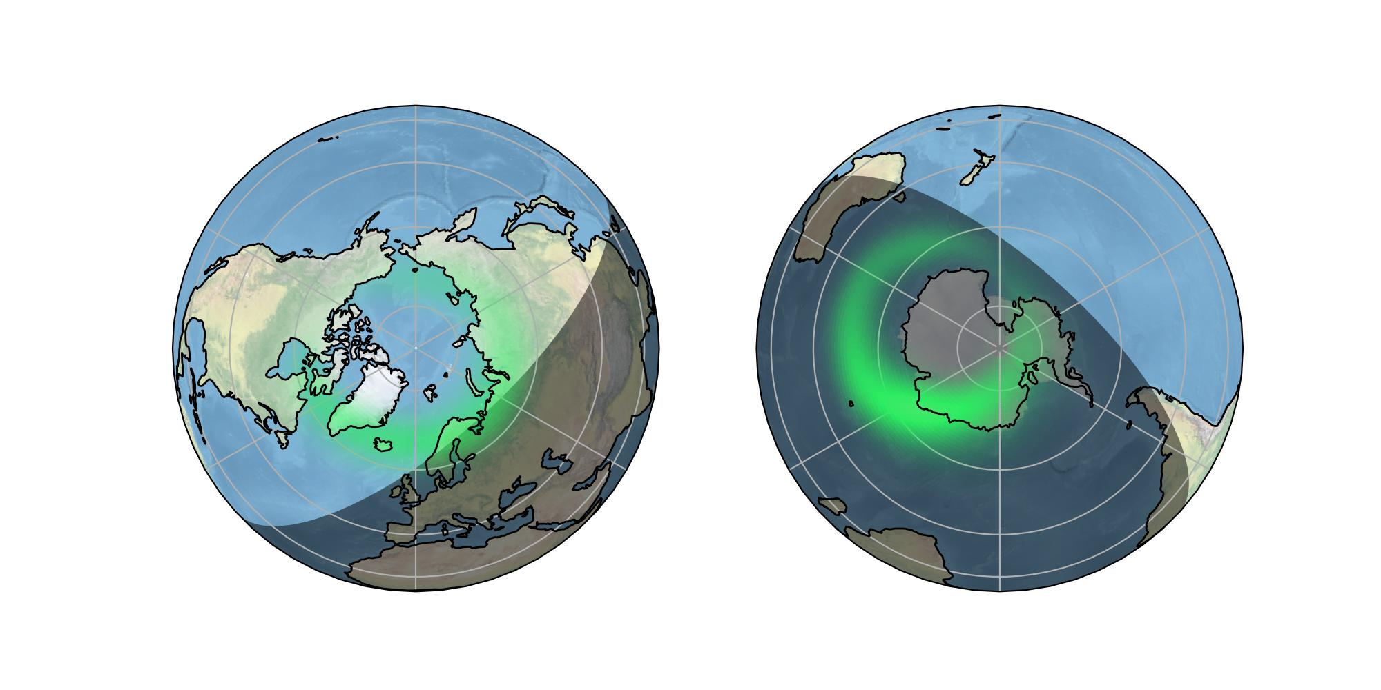
Arctis and Antarctis#
The Python code for the example below can be found online in the DataXlCalcNet repository or in the corresponding local DataXlCalcNet folder in the file D08_ArctisAndAntarctis.py, and the XML code in the file D08_ArctisAndAntarctis.2D.xml.
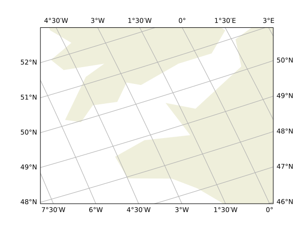
Geographic Mapping, with longitude and altitude on 4 axes crs=ccrs.PlateCarree#
The Python code for the example below can be found online in the DataXlCalcNet repository or in the corresponding local DataXlCalcNet folder in the file D09_GeographicMapping1.py, and the XML code in the file D09_GeographicMapping1.2D.xml.
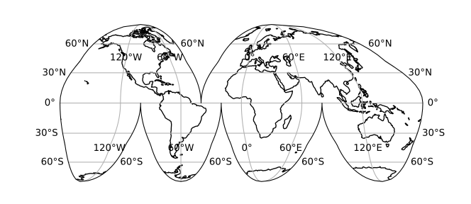
Geographic Mapping, World, projection=ccrs.InterruptedGoodeHomolosine#
The Python code for the example below can be found online in the DataXlCalcNet repository or in the corresponding local DataXlCalcNet folder in the file D10_GeographicMapping2.py, and the XML code in the file D10_GeographicMapping2.2D.xml.
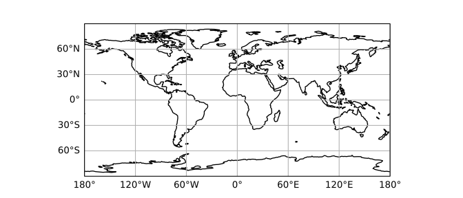
Geographic Mapping, World, projection=ccrs.PlateCarree#
The Python code for the example below can be found online in the DataXlCalcNet repository or in the corresponding local DataXlCalcNet folder in the file D11_GeographicMapping3.py, and the XML code in the file D11_GeographicMapping3.2D.xml.
Labelling projection axes: PlateCarree and Mercator#
The Python code for the example below can be found online in the DataXlCalcNet repository or in the corresponding local DataXlCalcNet folder in the file D12_LabellingProjectionAxis.py, and the XML code in the file D12_LabellingProjectionAxis.2D.xml.